Profile of an occupation – geomatician
Natural disasters are occurring ever more frequently. The floods which hit the Eifel region in the summer of 2021 made it clear just how devastating the consequences of such events may be. The interpretation and visualisation of geodata assists in arriving at a better estimation of which areas may be struck by flooding and of how badly they could be affected. Geomaticians prepare such data and draw up risk maps. They thus make an important contribution to the interpretation of complex spatial circumstances.

Visualisation of complex geodata
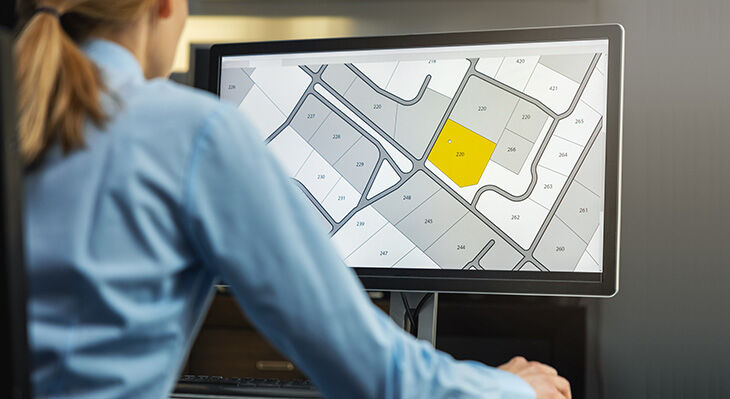
Surveying our Earth and dividing it up into areas, points and plots provides boundless information of geographical or spatial relevance. Such information forms a vital foundation for decision-making processes of all kinds. Some of the data produced is complex and very difficult to interpret without a graphic representation. Geomaticians record and procure geodata from a range of sources. They may, for example, work with remote sensing data from satellites, with surveying data or with series of maps. Complex geoinformatics systems are deployed to process, model and visualise this data.
Once prepared, it serves numerous purposes for various user groups. Digital 3D models help local government authorities with urban planning and zoning. Spatial and statistical evaluations of accident hotspots are also conducted within the public sector. Spatial analyses are relevant in the areas of civil and environmental protection and can also be effective in combating crime. Companies use location, potential and competition analyses in relation to aspects such as infrastructure or the proximity of sales markets. Assessment of creditworthiness also takes place with assistance from geodata (geo scoring). Processed geodata provides a means via which insurance companies are able to appraise risk and calculate premiums for policies such as buildings cover.
Some geodata is publicly available and can be researched and used on sites including www.geoportal.de. This is a joint venture undertaken by the Federal Government, the federal states and local governments and provides an opportunity to view the contents created by the Spatial Data Infrastructure Germany Project (SDI Germany). www.geoportal.de acts as the main point of access to the geodata and geodata services of SDI Germany and offers limitless scope to explore the country’s spatial and technical georesources.
The occupational profile of geomatician
Geomatician is a training occupation which was newly created in 2010. It encompasses all geodata management procedures, i.e. the recording, processing, illustration and modelling of digital and analogue geodata. Cartography, surveying, remote sensing, photogrammetry and working with geographic information systems (GIS) have all been brought together for the first time in the occupation of geomatician. The first year of training is common to geomaticians and surveying technicians, and the same contents are imparted for both occupations during this time. Geomaticians work in surveying, land registry and geoinformatics offices and departments. They may also find employment at cartographic publishing houses, at engineering firms or at companies and agencies which use geoinformatics systems.
Special term – photogrammetry
Photogrammetry is the precise three-dimensional geometric reconstruction of objects. The photographic images captured by a measurement camera are evaluated via a special software to record 3D coordinates which then permit exact digital mapping to take place.
Digitalisation and disaster management
Globally networked digital platforms enable the effective prevention of catastrophes caused by nature or humans. Satellite data and further information on incidents such as fires, landslides, floods and flash floods allow emergency services to evaluate situations and to react accordingly. Prognoses provide support when deciding on countermeasures and forming cross-border scenarios. Processed and visualised geodata is one of the key tools in digital disaster management.
Ongoing digitalisation provides geomaticians with the chance to seek support from technologies and procedures which are continuing to advance. The representation of urban areas via a virtual 3D simulation, automated systems for the evaluation of aerial views and the use of diving robots in underwater surveying are all cases in point. Geomaticians are also making increasing use of drones for evaluation purposes.
Development in trainee numbers
According to the Vocational Education and Training Statistics, 501 young people were undergoing training in the occupation of geomatician as of 31 December 2020. 141 of these were women. There was a constant increase in the number of newly concluded training contracts in the years leading up to 2018. Slight falls occurred in both 2019 and 2020. There is a conspicuously high proportion of trainees in the public sector. Such trainees have accounted for between 85 and 91 percent of the training intake and have made up 88 percent of entrants on average since the training occupation was first introduced in 2010 (cf. Figure).

At a glance
- Last updated: 2010
- Duration of training: 3 years
- Responsibility: Trade and industry, public sector
- Training structure: Mono-occupation
- DQR reference level: 4
BIBB website page on the occupation
Podcast on the profile of the occupation featuring two trainees (in German): www.bwp-zeitschrift.de/p152003
All links: status 28/2/2022
(Compiled by Arne Schambeck)
Sources: Federal Agency for Cartography and Geodesy (BKG), Spatial Data Infrastructure Germany Project (SDI Germany), Federal Employment Agency
Translation from the German original (published in BWP 1/2022): Martin Kelsey, GlobalSprachTeam, Berlin